IPIS Open Data
Opening up data, creating tutorials, hosting Mapathons and workshops
The International Peace Information Service (IPIS) publishes a selection of its datasets as Open Data, as it is convinced that sharing reliable, tidy and recent data on the topics it works on can be an essential factor for a good research climate. These datasets originate from its data collection campaigns and research, and have been internally reviewed and processed. The Open Data is linked to its internal database, such that a download includes the most up to date data-points and reflect the current status of the data as accessible through the IPIS webmaps on the same topics.
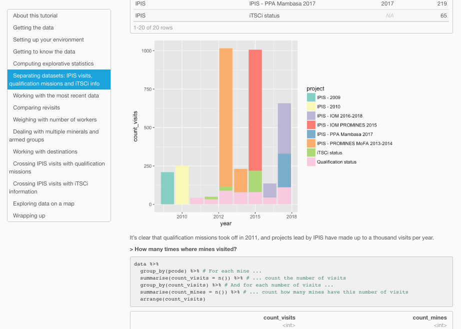
I lead the effort to make the commitment of opening up the data, helped assess the risks and benefits and implemented the data pipeline. To help potential users/researchers, I built a step-by-step Open Data Tutorial using RMarkdown explaining to how to use the IPIS Open Data, using the statistical language R and it’s dplyr library as an example.
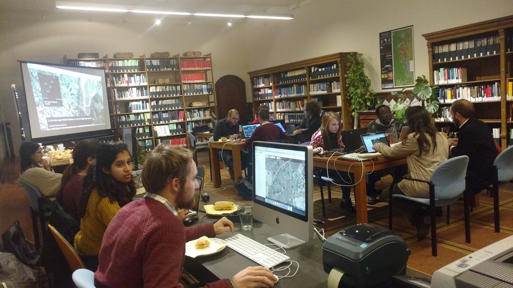
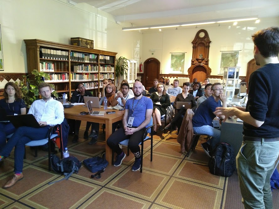
In the same spirit, I continued a tradition at IPIS to help host Missing Maps Mapathons. These are volunteer-based events focussed on open-source mapping of vulnerable places in the developing world which are in urgent need of decent maps. The data created during these events becomes part of OpenStreetMap, a worldwide open data map project. I also helped organise some in-house research workshops introducing students to IPIS data and webmaps.
— @ IPIS, 2016